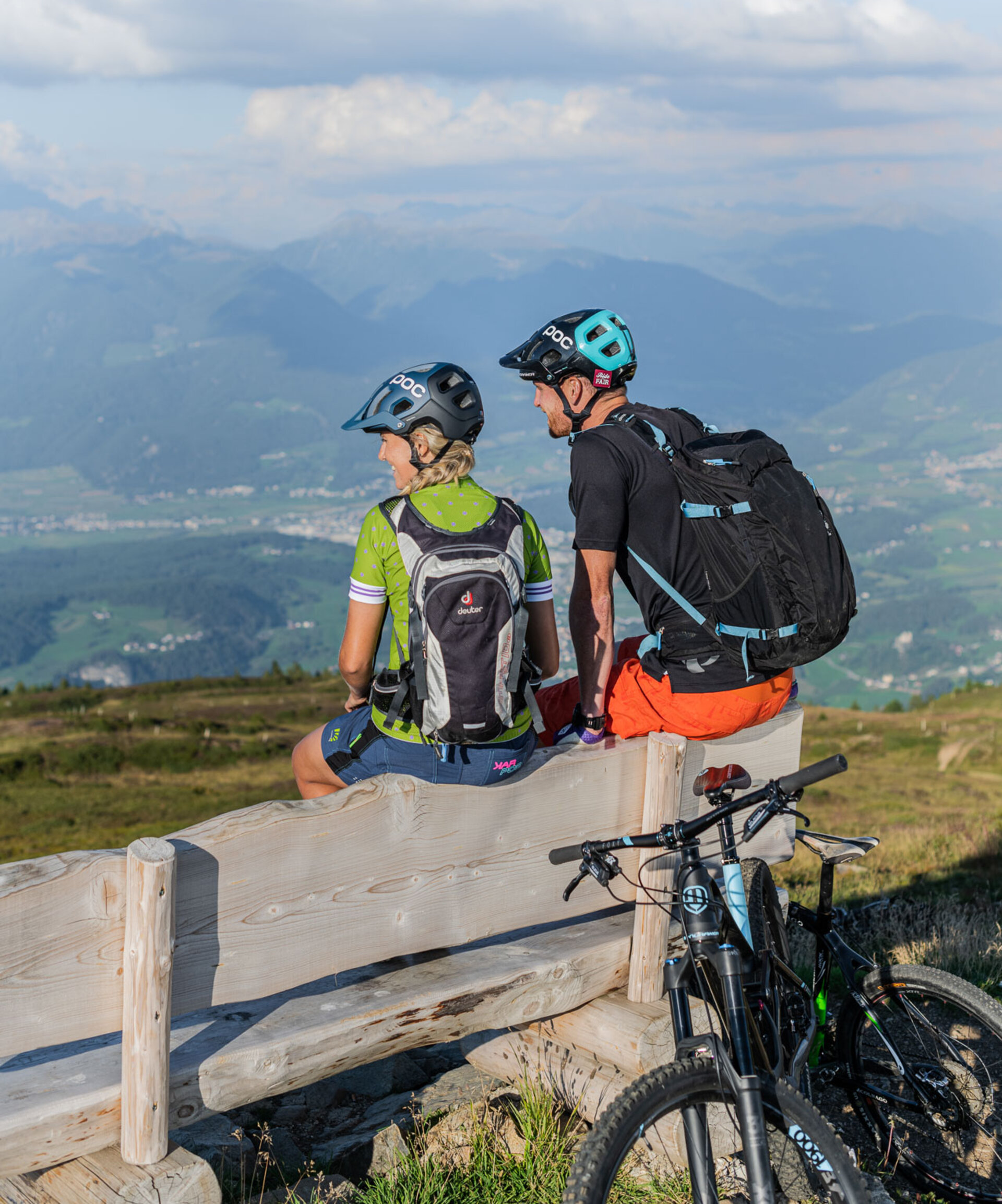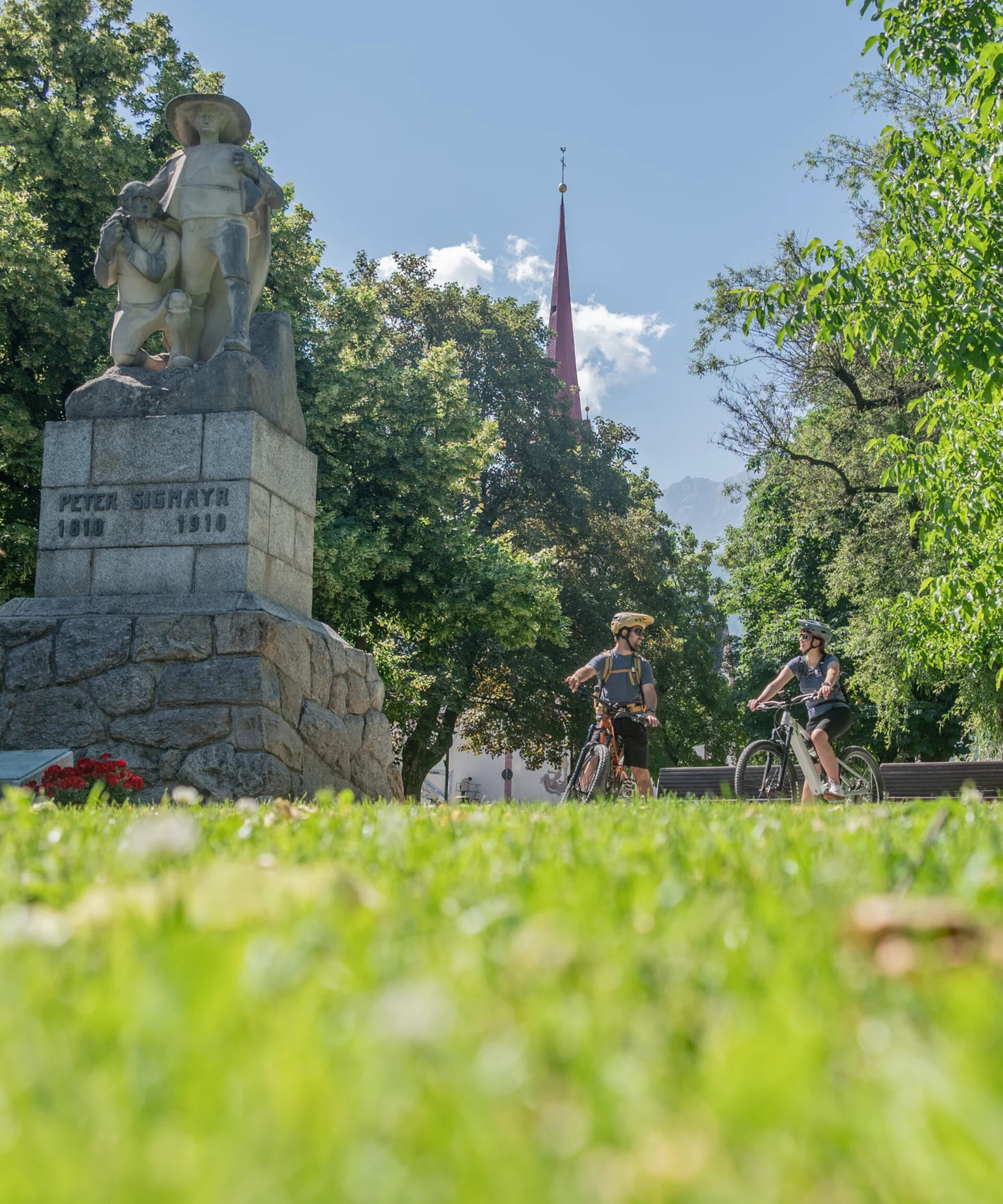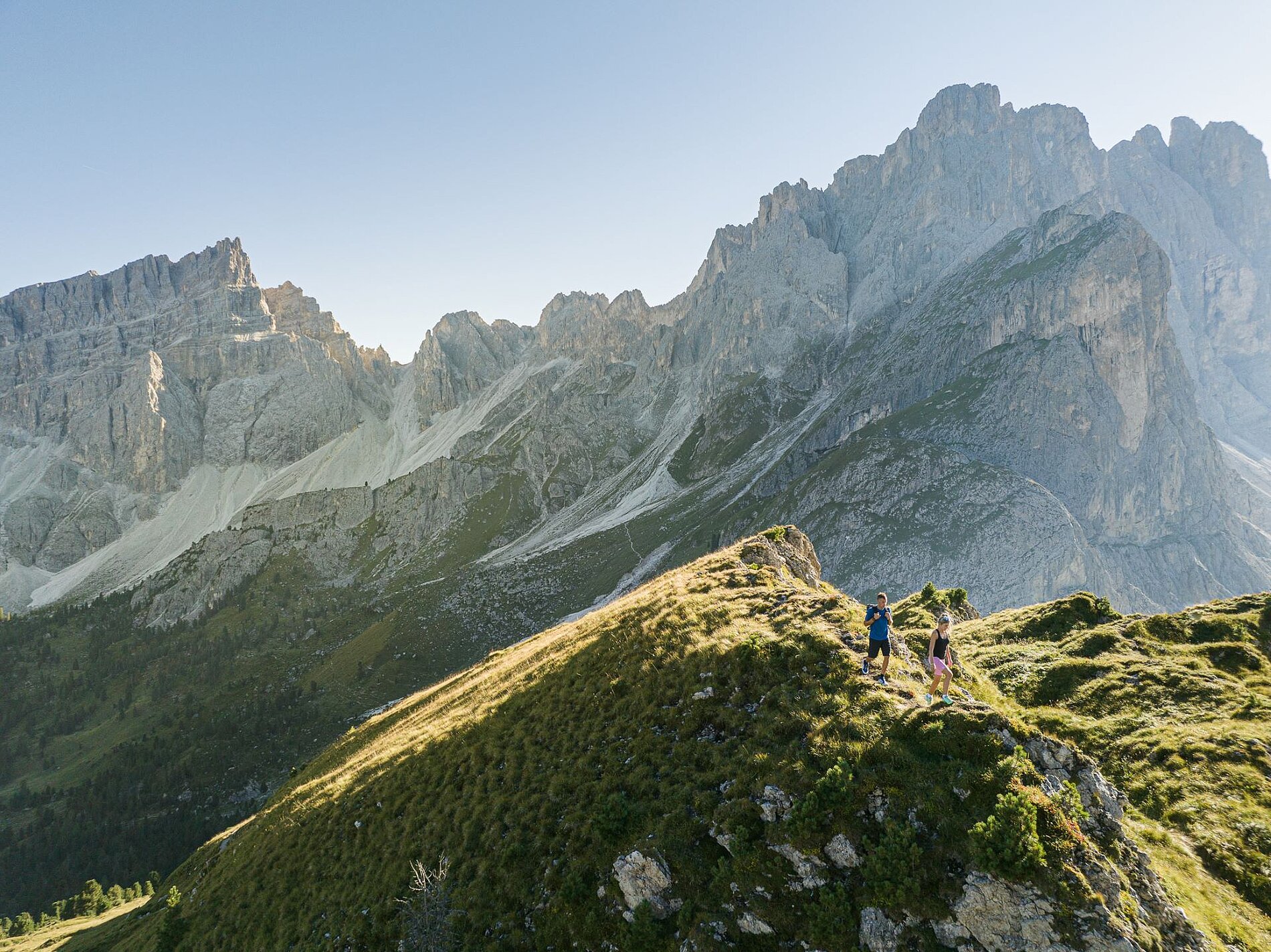
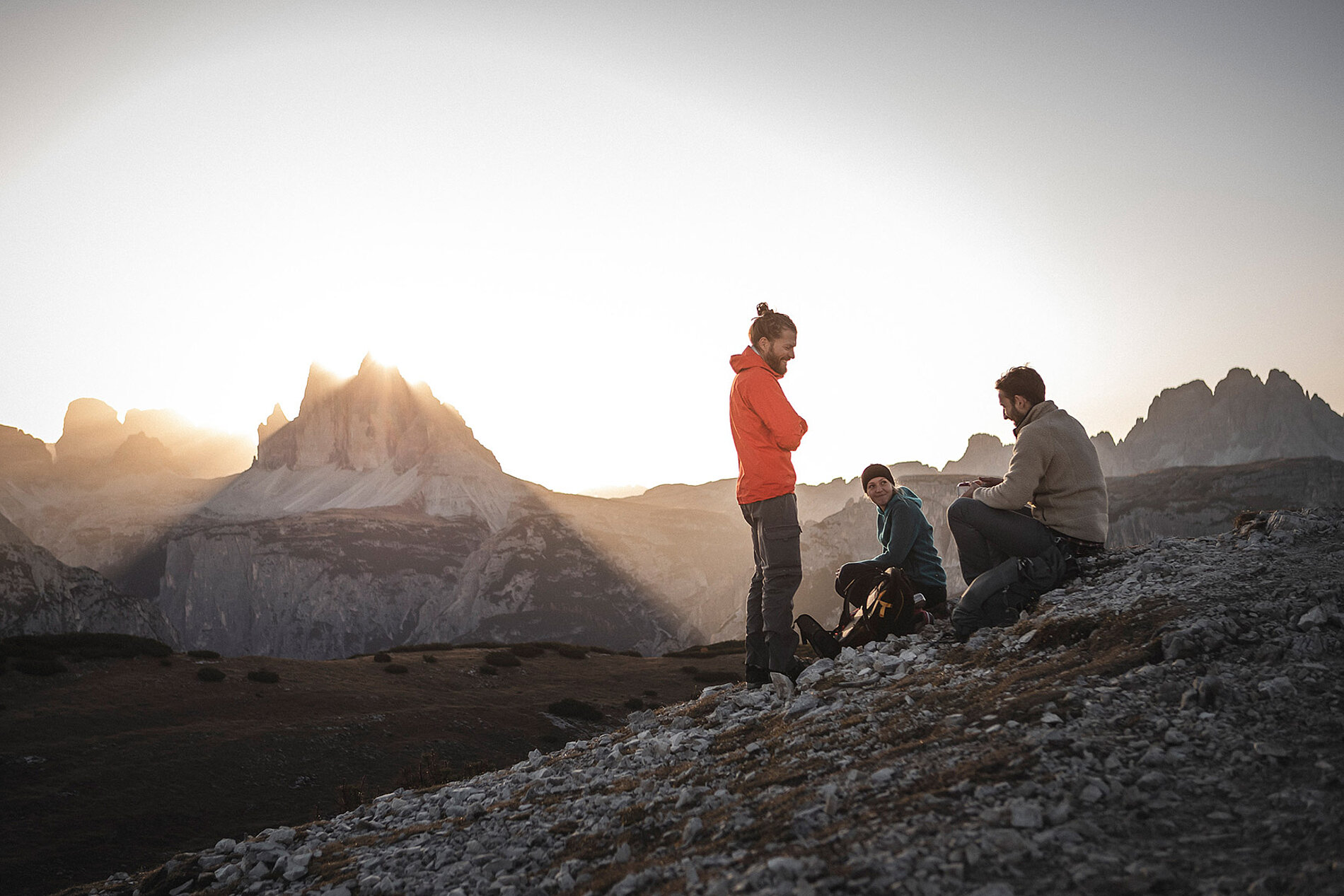
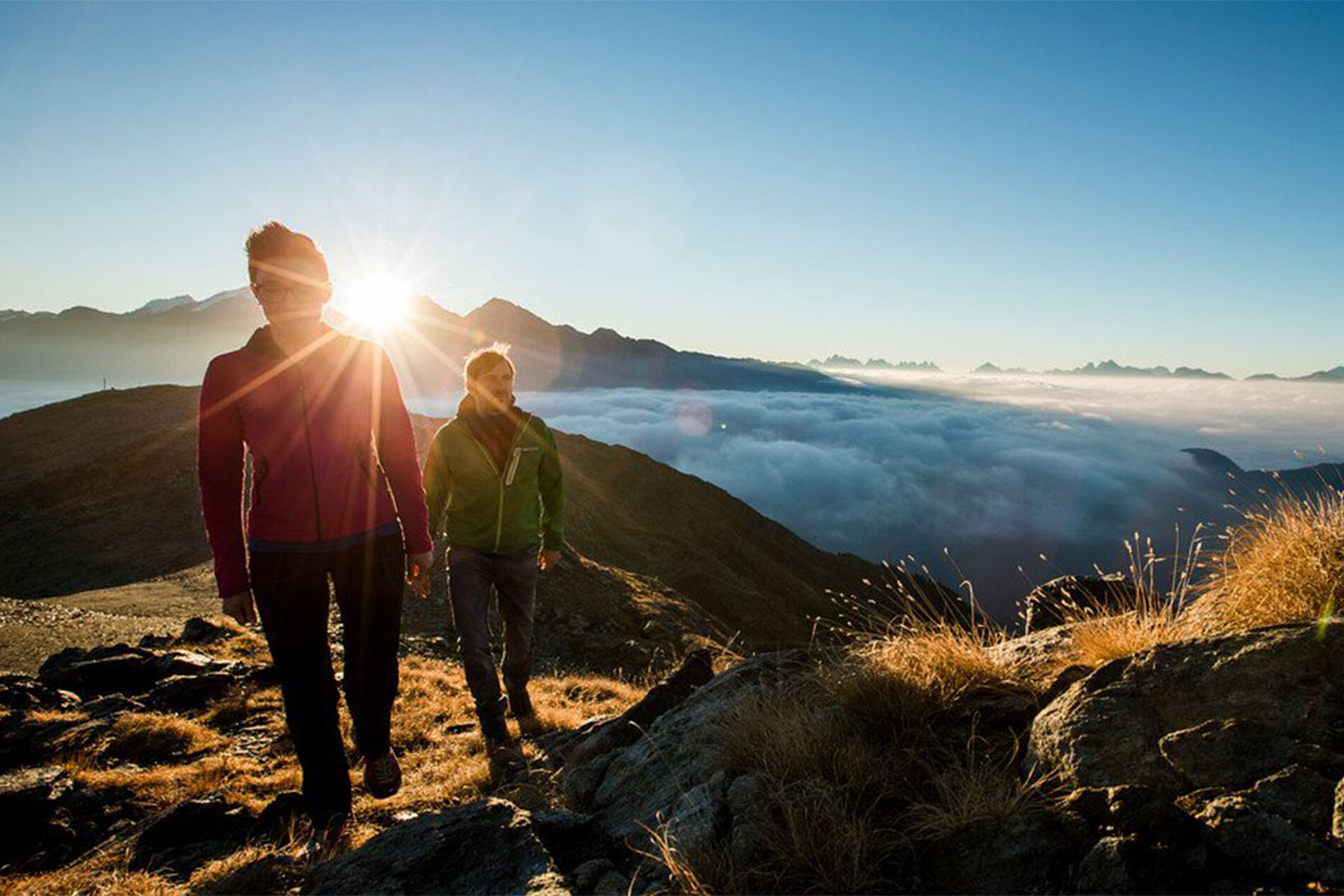
Nature, tranquillity and the joy of reaching the summit.
Hiking adventures starting right in Olang
Wake up in Olang, lace up your hiking boots and head out into the mountains. The choice is yours: scenic walks, challenging summit tours or leisurely hikes with a stop at a traditional mountain hut. The Dolomites and Fanes-Sennes-Prags Nature Park are right on your doorstep, with their spectacular rock formations and impressive peaks. And then there’s Kronplatz, Olang’s local mountain, rising to 2,275 metres. The summit is just an eleven-minute cable car ride away. Once at the top, you’ll be rewarded with a spectacular 360° panorama: the Dolomite peaks stretch out to the south, while the 3,000-metre peaks of Rieserferner-Ahrn Nature Park rise to the north.
And there’s so much more to discover. From Olang and along the main Alpine ridge, countless hiking trails lead through beautiful mountain landscapes, ranging from easy walks to demanding summit tours – with plenty of welcoming alpine huts and mountain refuges along the way.
Higher up. Further out.
Mountain adventures around Olang
For those who love a challenge and want to experience the mountains at their most impressive, there’s plenty to discover around Olang. Peaks such as Piz da Peres, Dreifingerspitze, Flatschkofel, Maurerkopf and Hochalpenkopf rise high above the valley, offering rewarding summit tours and spectacular mountain experiences. With good fitness, sturdy footwear and a little adventurous spirit, you’re ready to set off into higher terrain.
For an even more thrilling experience, the Hochalpenkopf via ferrata is a popular choice. Here, you can get up close to the rock, the mountains and the breathtaking landscape.
Hiking ideas
Hiking time: approx. 1 hour
A short, easy and family-friendly hike starting at the car park of Restaurant Panorama in Mitterolang. Follow trail 6A – or alternatively trail 22 – gently uphill past the Riedlerhöfe farmsteads. The trail becomes narrower as it enters the forest, where it climbs steadily at a moderate gradient.
After around an hour, you’ll reach the welcoming Angerer Alm mountain hut, where you can stop for a well-deserved break. Still have some energy left? Continue along trail 6A to the higher Lanzwiesenalm.
Hiking time: approx. 2 hours
This easy hike starts in Mitterolang and leads via Vopichl and the Peststöckl wayside shrine uphill to the hamlet of Gassl. From here, follow trail 32 through the forest to the popular Bad Bergfall excursion destination.
For the return journey, we recommend a scenic alternative route via the sunny mountain village of Geiselsberg. From here, an easy trail with beautiful panoramic views leads back to Olang.
Hiking in Fanes-Sennes-Prags Nature Park
Capanna Alpina (1,726 m) – Col de Locia (2,069 m) – Groß-Fanes (2,104 m) – Lake Limo (2,159 m) – Fanes Hut (2,060 m) – Lake Piciodel (1,820 m) – Pederü Hut (1,548 m)
From San Cassiano, follow the road towards the Valparola Pass. After a few kilometres, turn off towards Capanna Alpina, where the hike begins. A short trail to the right, past the gravel pit, leads to the starting point.
Follow trail 11 through spruce forests and across the meadows of Plan de Furcia, climbing towards Col de Locia. Beyond the pass, the landscape opens up into the impressive basin surrounded by the peaks of Fanes, Camperstrin and Les Conturines. The trail then continues to Ju dell’Egna.
After crossing the alpine meadows, you’ll reach the Fanes Hut after around three hours – a perfect place for a break. From here, the trail descends to Lake Limo and continues to Limojoch (2,172 m), the highest point of the hike.
The route then descends back to the Fanes Hut before following trail 7 towards Lake Piciodel. The final, steeper section leads down to the Pederü Hut.
- Hiking time: 6–7 hours
- Elevation gain: 500 m
- Difficulty: Easy
Hiking in Rieserferner-Ahrn Nature Park
Oberrasen (1,085 m) – Rasner Möser nature reserve (1,080 m) – Antholz-Niedertal (1,110 m) – Lake Antholz (1,642 m) – Antholz-Mittertal (1,241 m) – Oberrasen (1,085 m)
At the head of the Antholz Valley, you’ll find beautiful Lake Antholz, surrounded by a scenic walking trail. We recommend combining the lake circuit with a full-day hike through the picturesque Antholz Valley.
The route starts in Oberrasen and follows trail 1 past the Rasner Möser nature reserve to Antholz-Niedertal, continuing onwards to Lake Antholz. After walking around the lake, the route follows trail 11 along the right-hand side of the valley, passing traditional farmhouses and Antholz-Mittertal.
From there, it leads back to Antholz-Niedertal and finally follows trail 1 back to the starting point in Oberrasen.
- Duration: Full-day hike
- Elevation gain: 560 m
- Difficulty: Easy circular hike
Hiking in the Three Peaks Nature Park
Fischleinboden (1,454 m) – Talschlusshütte (1,548 m) – Zsigmondy-Comici Hut (2,224 m) – Büllelejoch Hut (2,528 m) – Drei Zinnen Hut (2,405 m) – Altenstein Valley – Fischleinboden (1,454 m)
The Sexten Mountain Hut Circuit is a spectacular full-day hike through the Sexten Dolomites, passing some of the most impressive mountain scenery in the region and offering breathtaking views of the Three Peaks.
From Sexten-Moos, take the bus or drive to the Fischlein Valley, where the hike begins. A wide trail first leads to the Talschlusshütte, where you continue into the Altenstein Valley.
After around 100 metres, leave the trail towards the Three Peaks Hut and take the path on the left, trail 103. A series of steep switchbacks leads up the flank of the Einserkofel to the Zsigmondy-Comici Hut.
From the hut, the trail continues over rocky terrain towards the Büllelejoch on trail 101. From the Büllelejoch Hut, the route crosses the scree-covered slopes of the Bödenknoten and Paternkofel. Steep switchbacks initially lead downhill before the trail becomes flatter, crossing rocky terrain towards the Toblinger Riedl.
You’ll soon reach the Drei Zinnen Hut, with its spectacular views of the Three Peaks. From here, follow trail 102 past the Bödenseen lakes and descend through the Altenstein Valley to the Talschlusshütte, then continue back to the starting point.
- Duration: Full-day circular hike
- Elevation gain: 980 m
- Difficulty: Moderate – good fitness required